|
Hard Freeze A complete technical report
describing the procedures used to produce and analyze these
figures is available in .pdf format. (1.5Mb size)
|
|||
| Map variable | Map level or type | Hours prior to start of event | |
|
|
|||
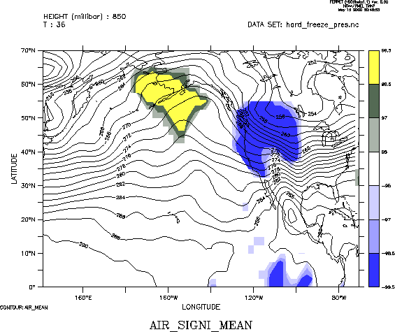
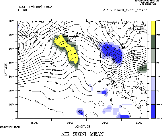
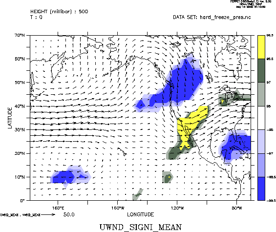
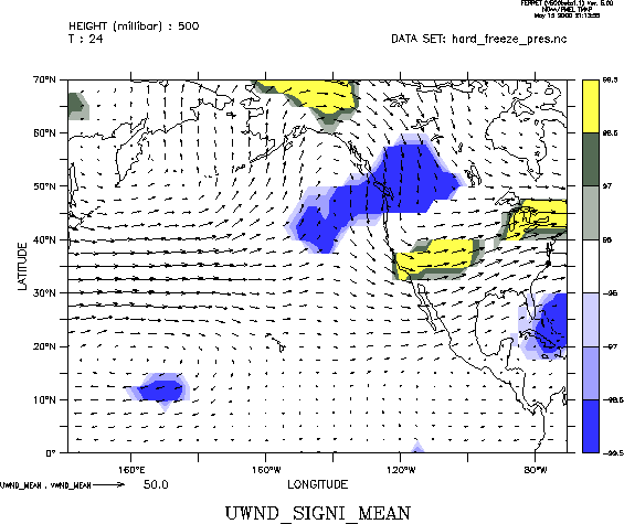
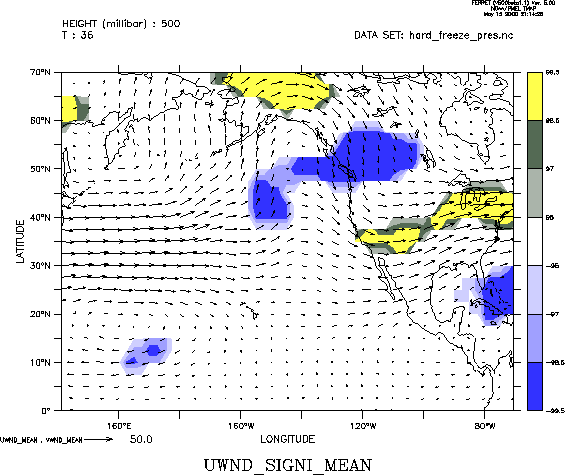
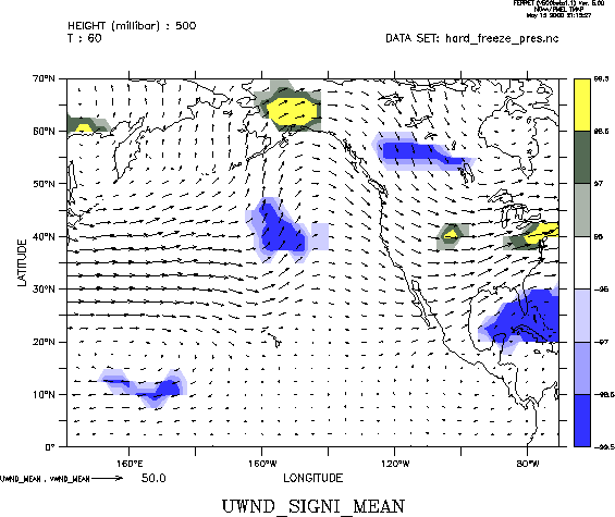
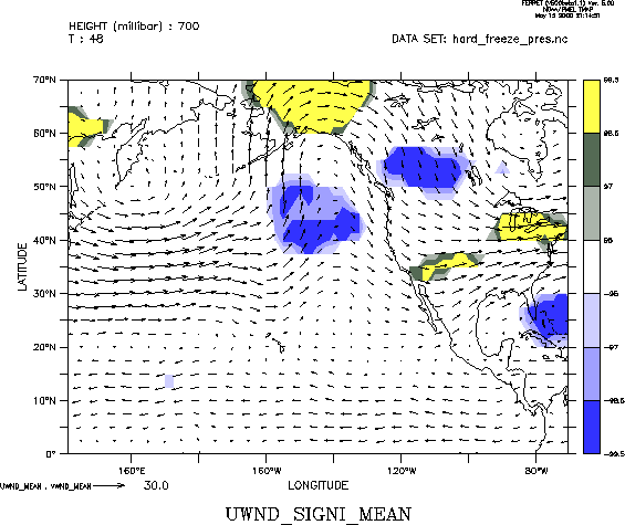
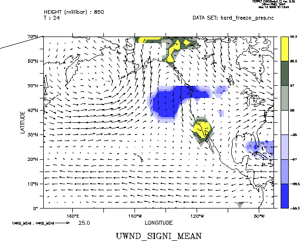
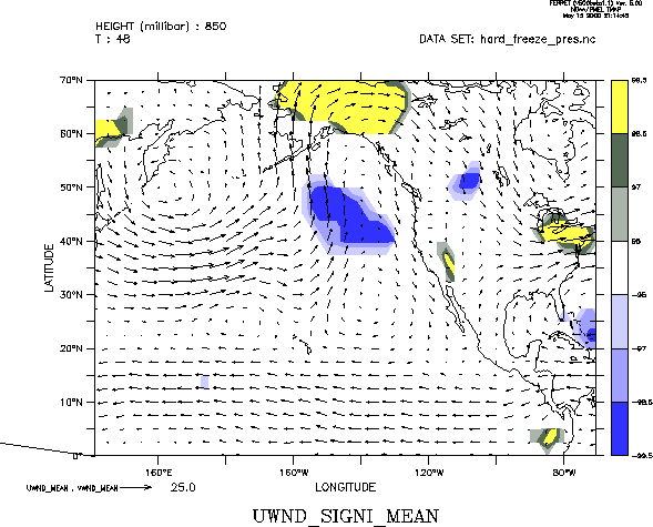
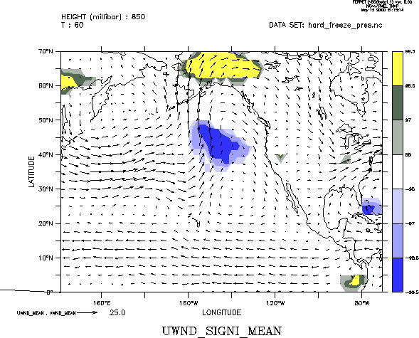
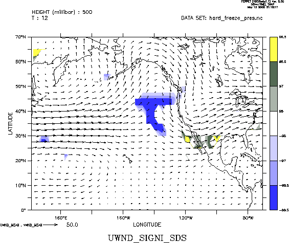
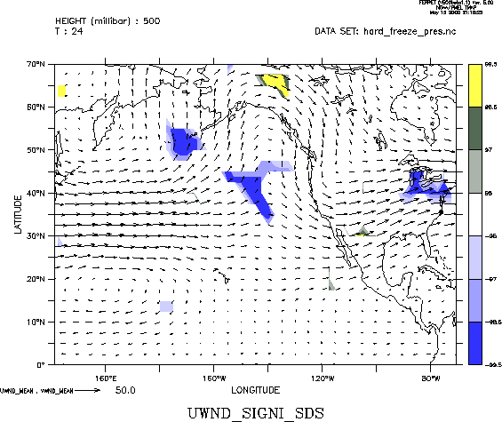
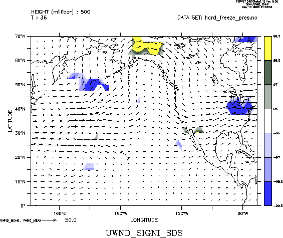
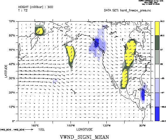
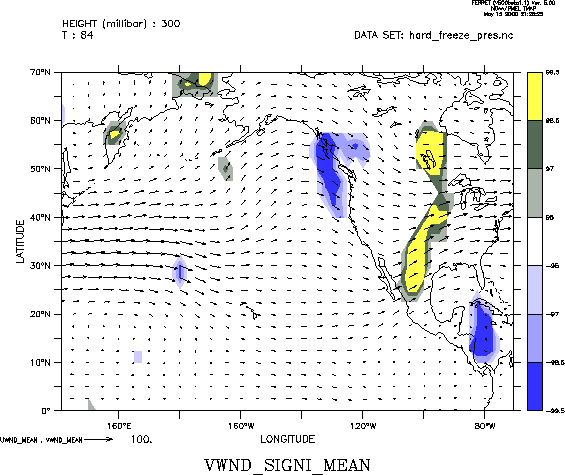
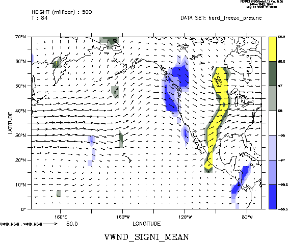
| Temperature | 500 mb | 0 12 24 36 48 60 72 84 | |
| 700 mb | 0 12 24 36 48 60 72 84 | ||
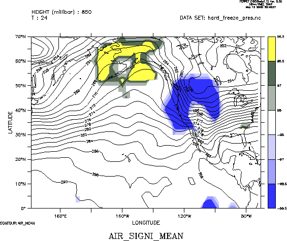
| 850 mb | 0 12 24 36 48 60 72 | ||
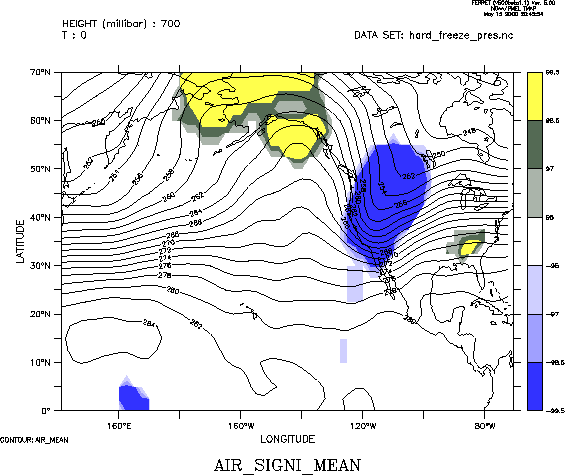
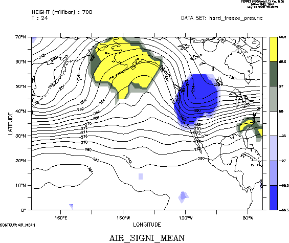
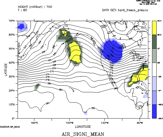
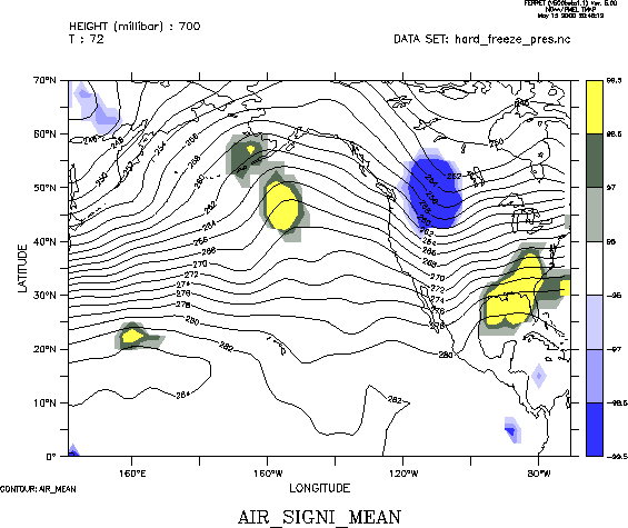
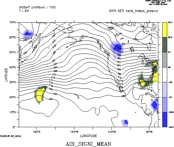
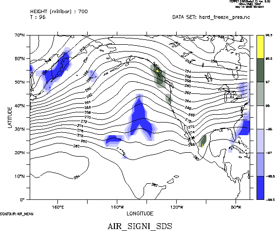
| standard deviation @ 700 | 96 | ||
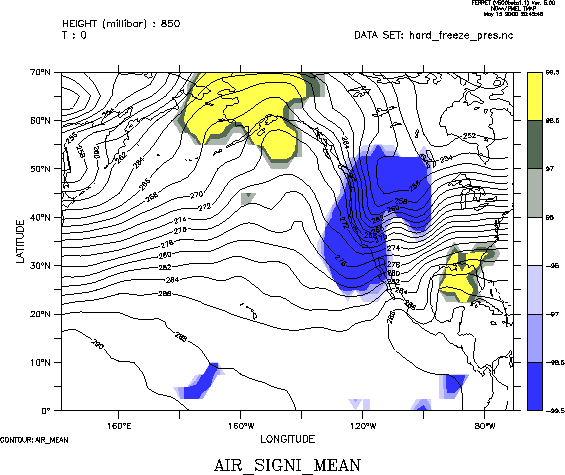
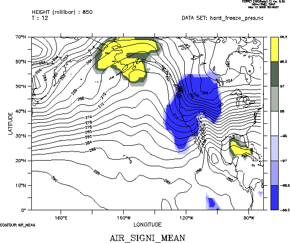
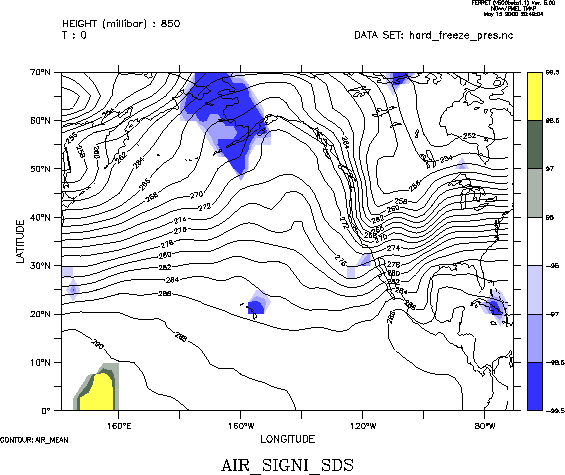
| standard deviation @ 850 | 0 12 | ||
|
|
|||
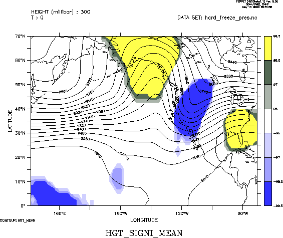
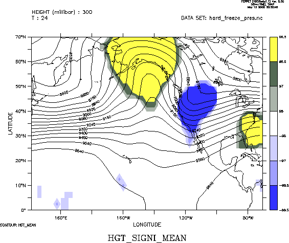
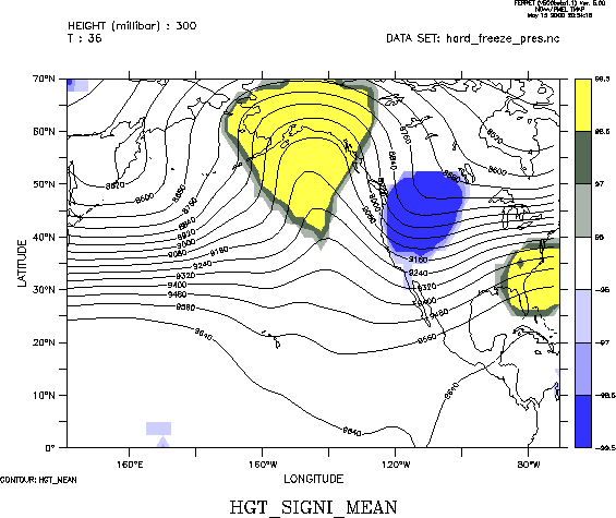
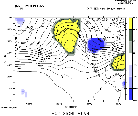
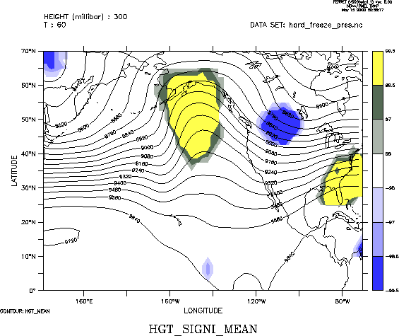
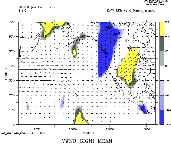
| Height | 300 mb | 0 12 24 36 48 60 | |
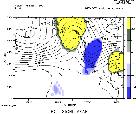
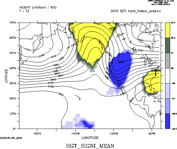
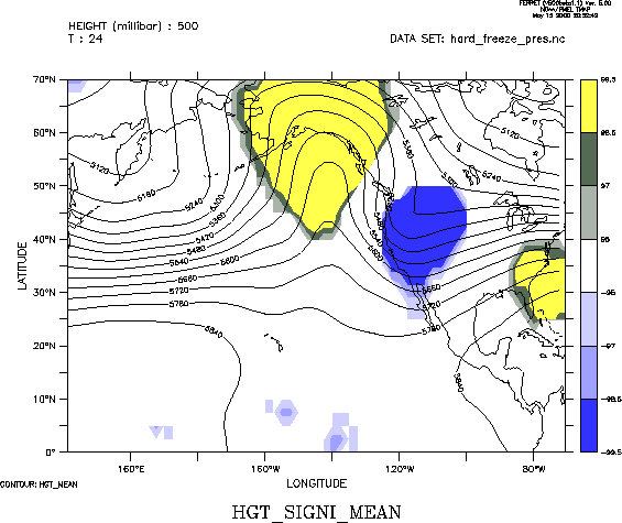
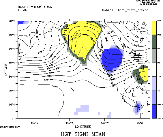
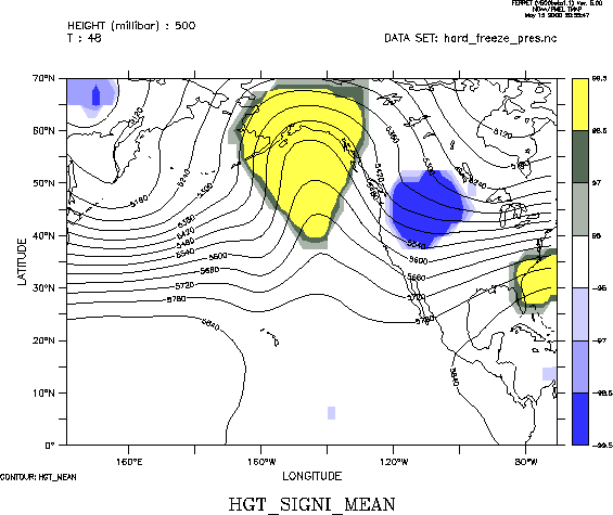
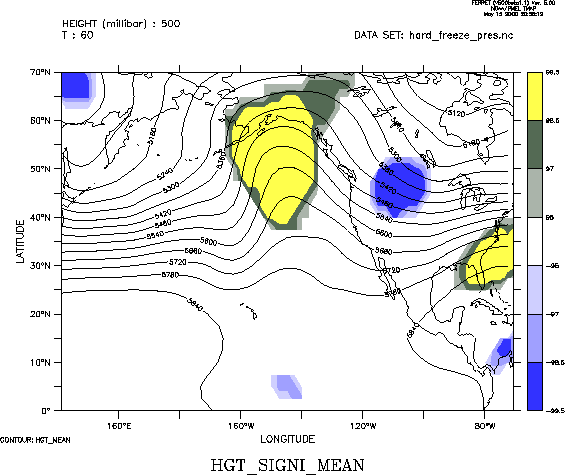
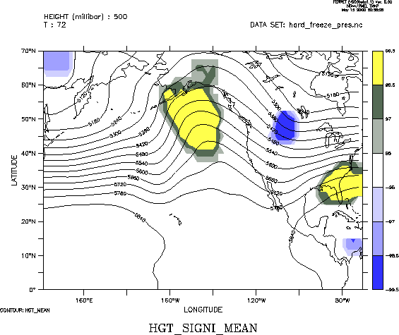
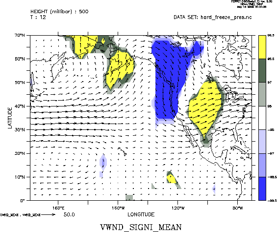
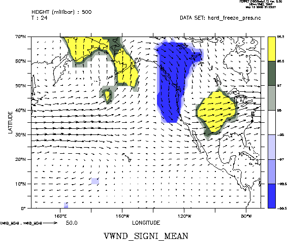
| 500 mb | 0 12 24 36 48 60 72 | ||
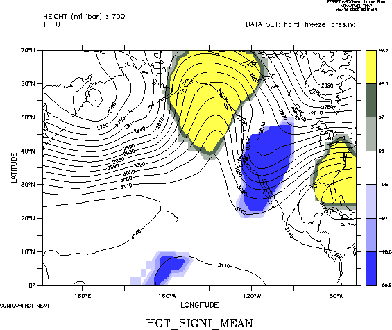
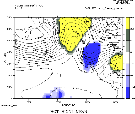
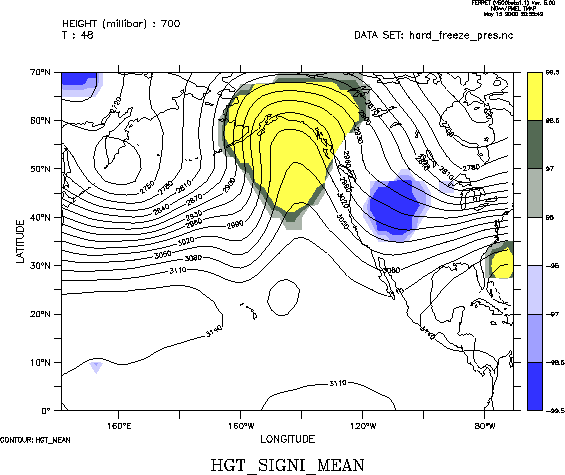
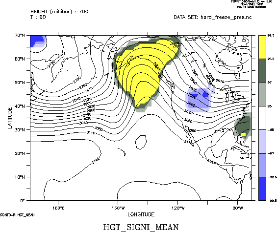
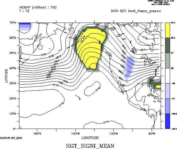
| 700 mb | 0 12 24 36 48 60 72 | ||
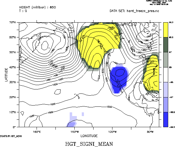
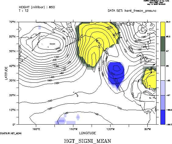
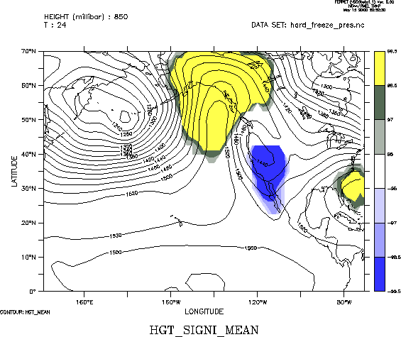
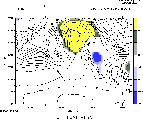
| 850 mb | 0 12 24 36 | ||
|
|
|||
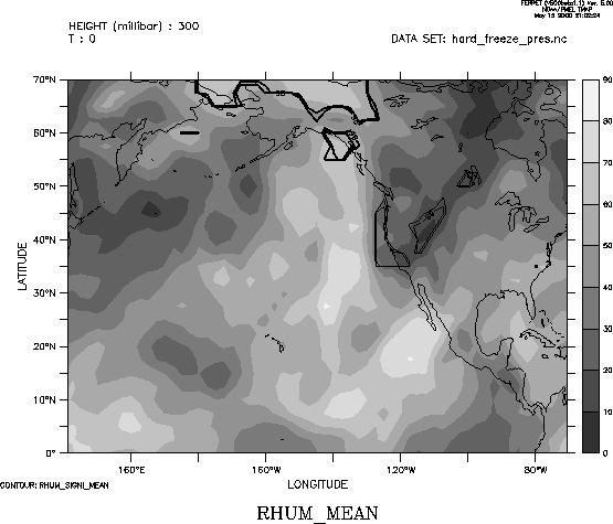
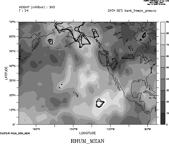
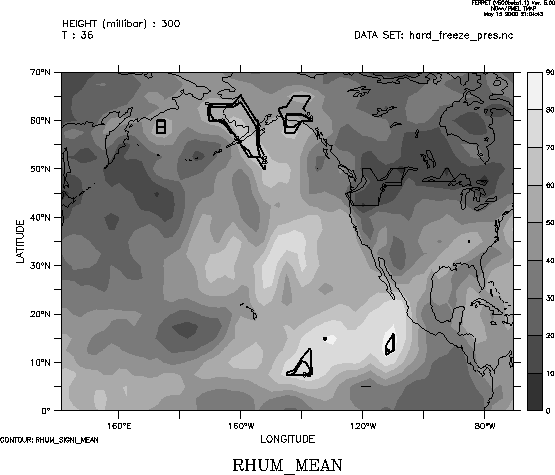
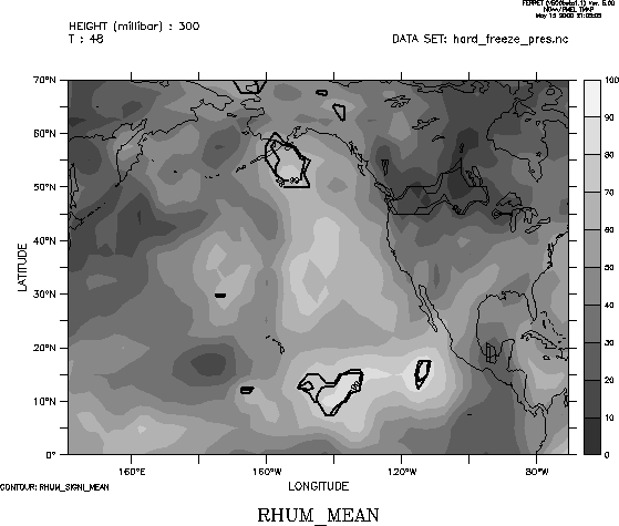
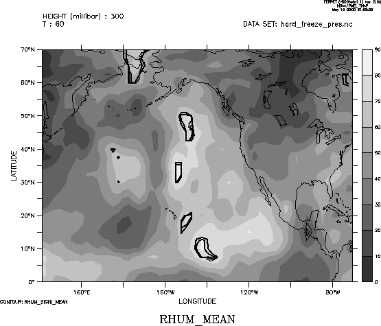
| Relative Humidity | 300 mb | 0 12 24 36 48 60 | |
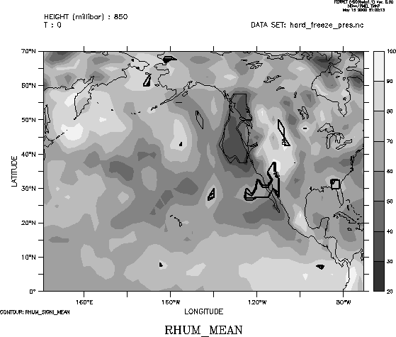
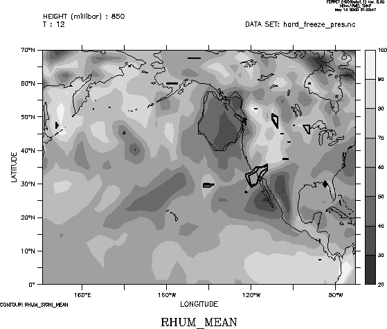
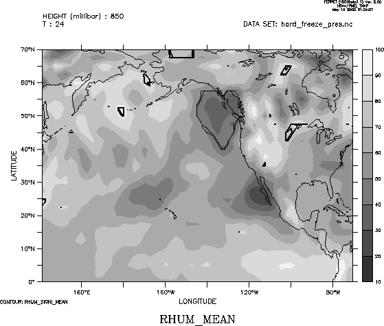
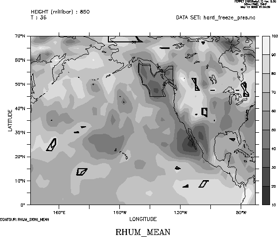
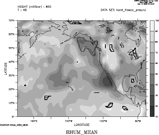
| 850 mb | 0 12 24 36 48 60 | ||
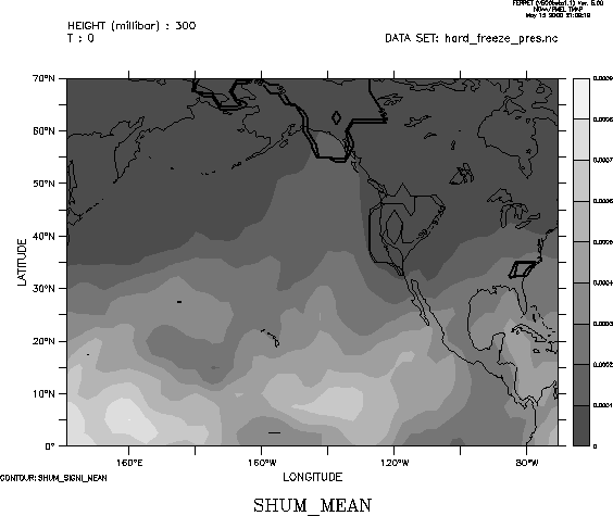
| Specific Humidity | 300 mb | 0 | |
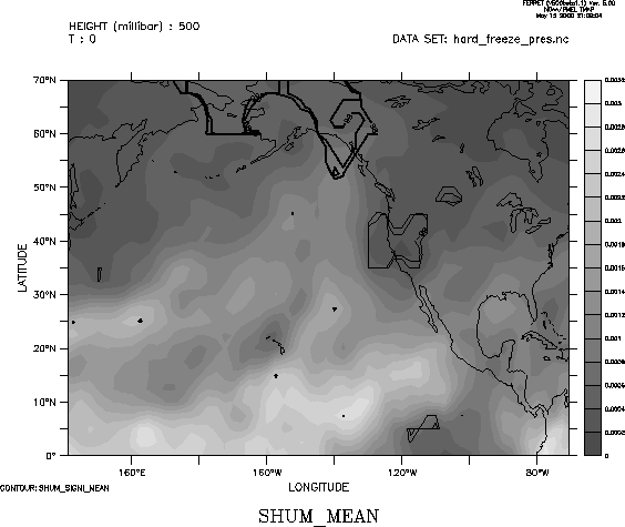
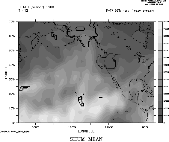
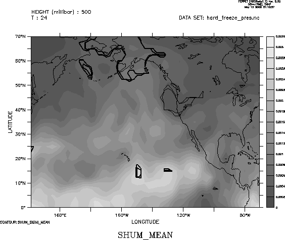
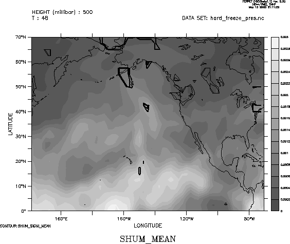
| 500 mb | 0 12 24 36 48 60 | ||
| 700 mb | 0 | ||
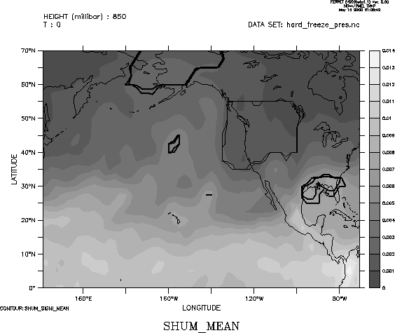
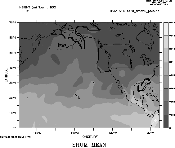
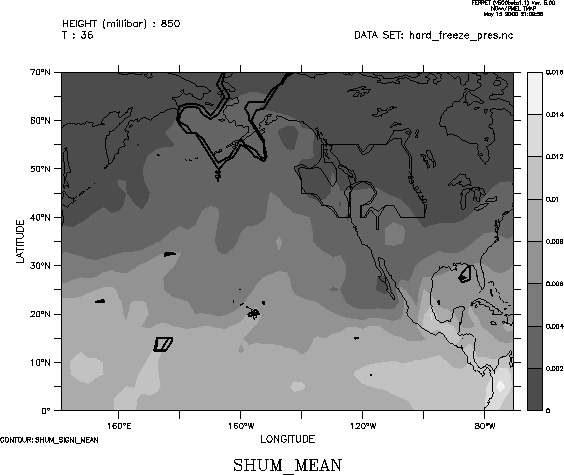
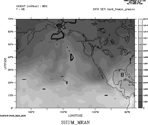
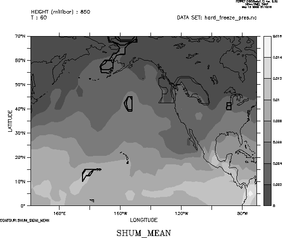
| 850 mb | 0 12 24 36 48 60 | ||
|
|
|||
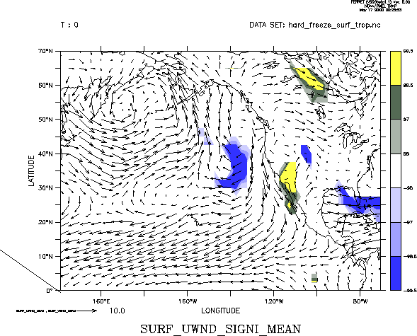
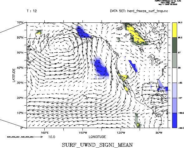
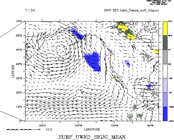
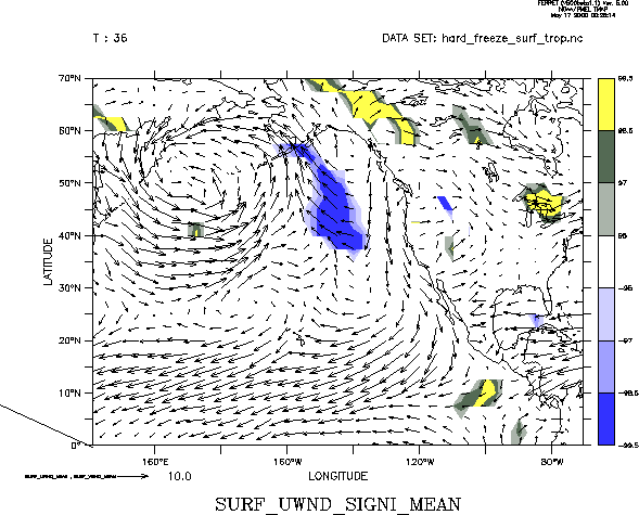
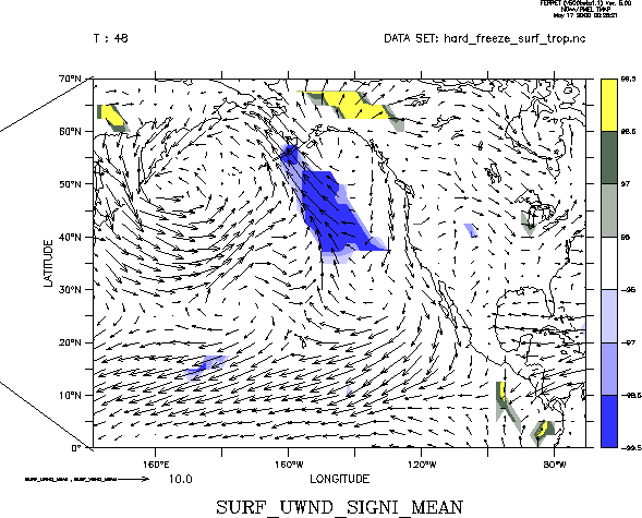
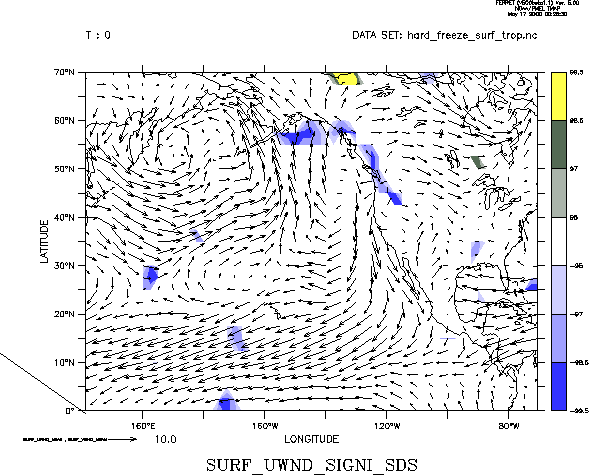
| Surface Wind | U (zonal) component | 0 12 24 36 48 | |
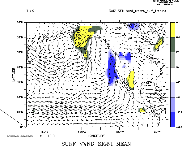
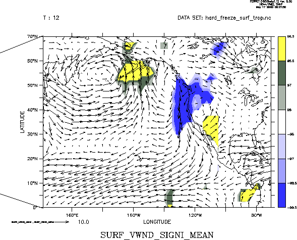
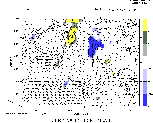
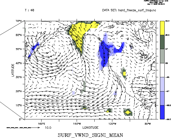
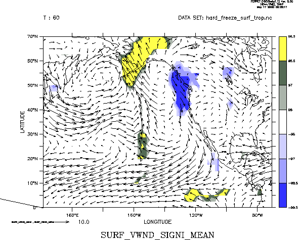
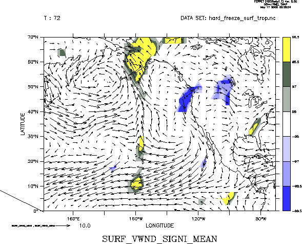
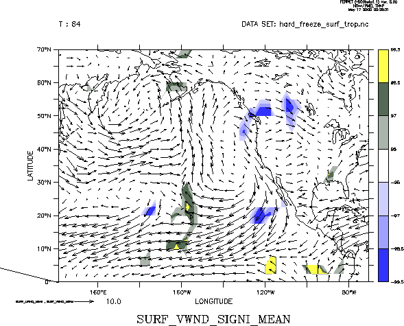
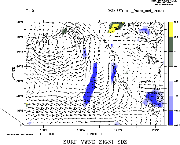
| V (meridional) component | 0 12 24 36 48 60 72 84 | ||
| U standard deviation | 0 | ||
| V standard deviation | 0 12 | ||
|
|
|||
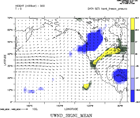
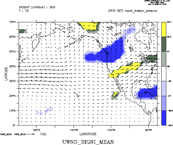
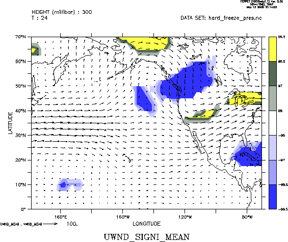
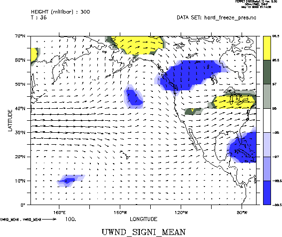
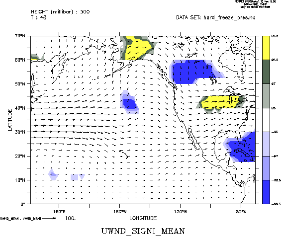
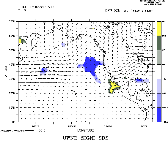
| U Wind | 300 mb | 0 12 24 36 48 60 | |
| 500 mb | 0 12 24 36 48 60 | ||
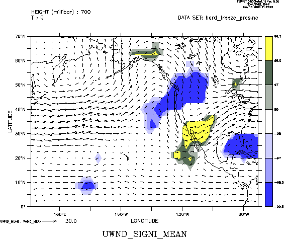
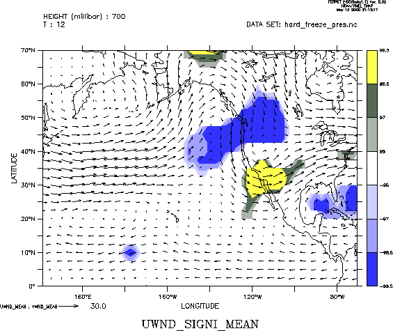
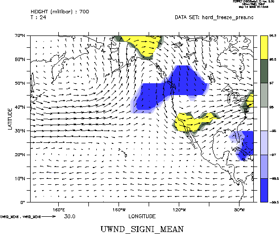
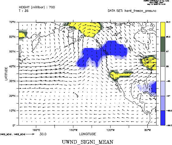
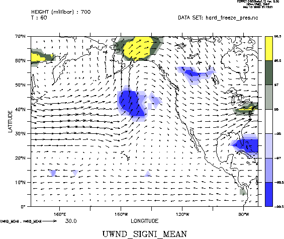
| 700 mb | 0 12 24 36 48 60 | ||
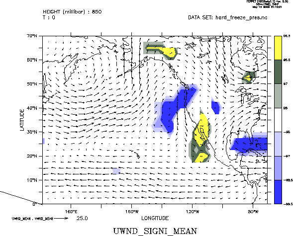
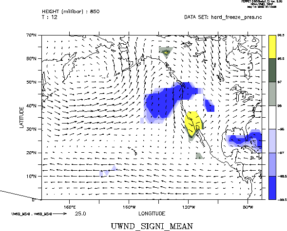
| 850 mb | 0 12 24 36 48 60 | ||
| standard deviation @ 500 | 0 12 24 36 | ||
|
|
|||
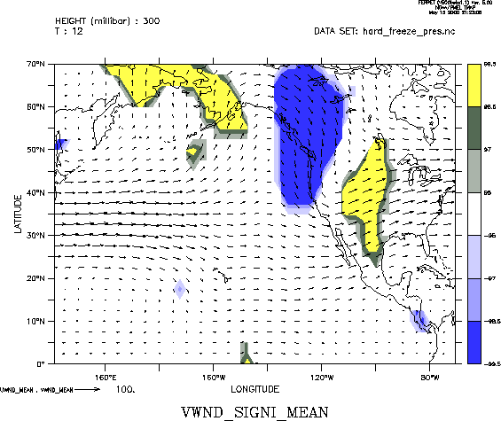
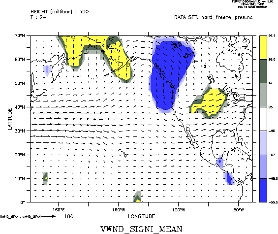
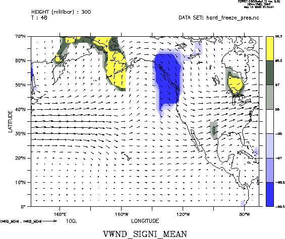
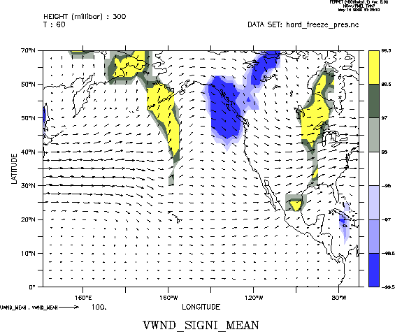
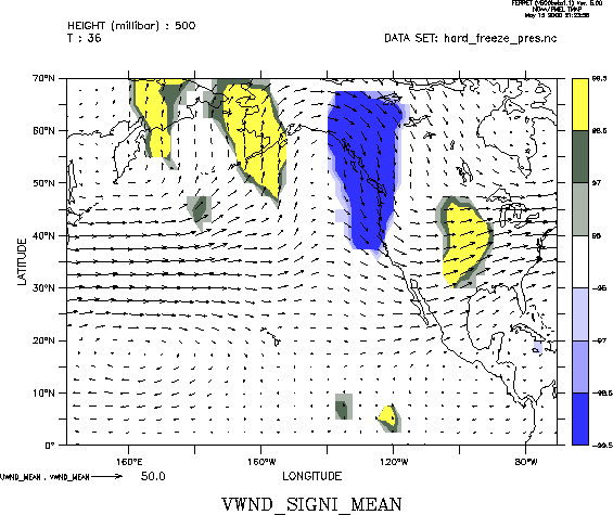
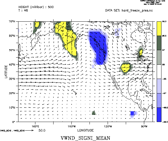
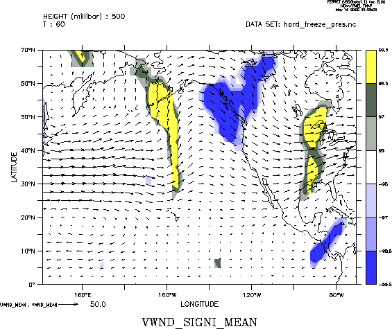
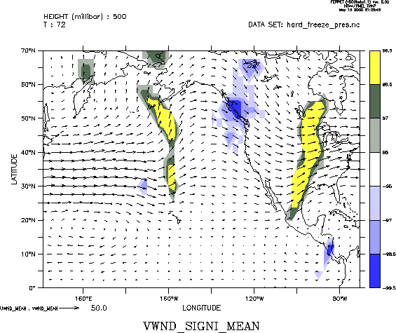
| V Wind | 300 mb | 0 12 24 36 48 60 72 84 | |
| 500 mb | 0 12 24 36 48 60 72 84 | ||
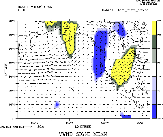
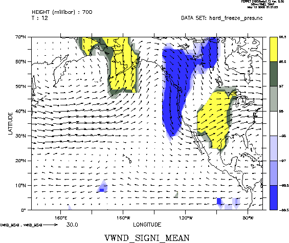
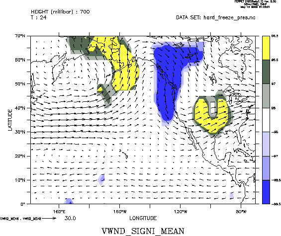
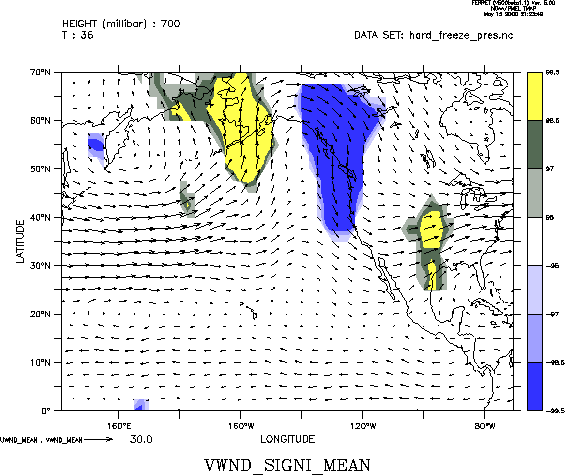
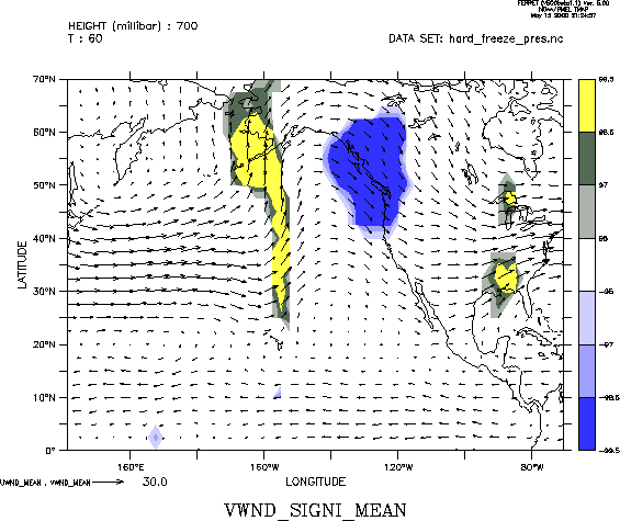
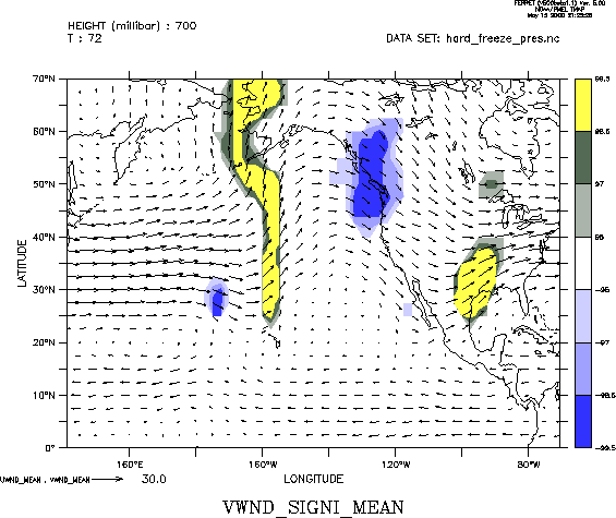
| 700 mb | 0 12 24 36 48 60 72 84 | ||
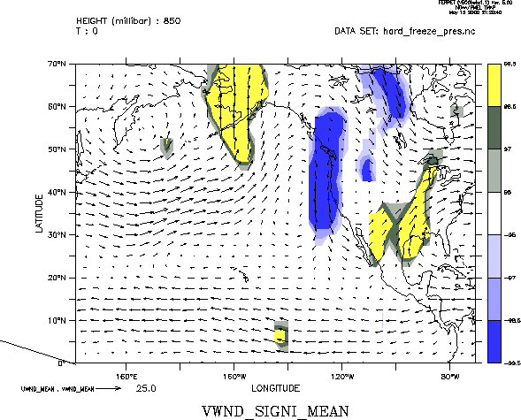
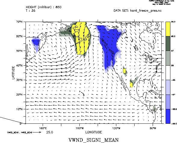
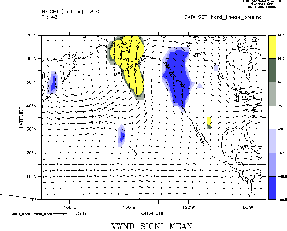
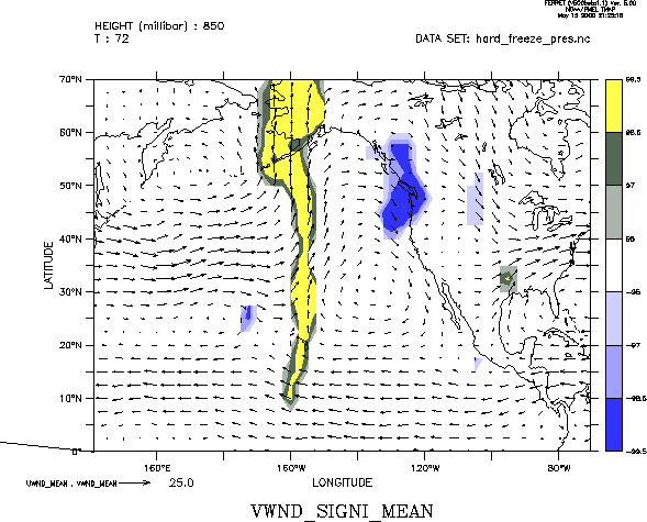
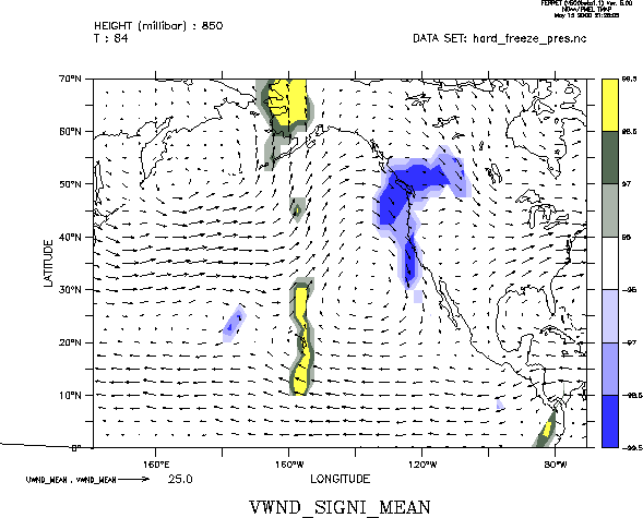
| 850 mb | 0 12 24 36 48 60 72 84 | ||
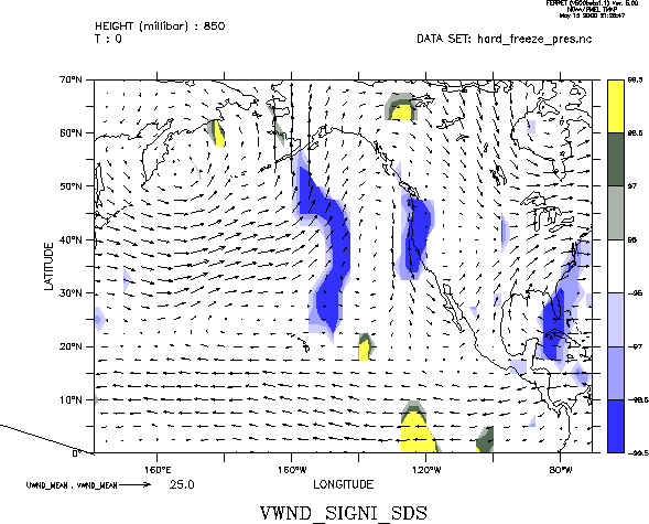
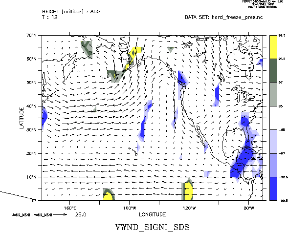
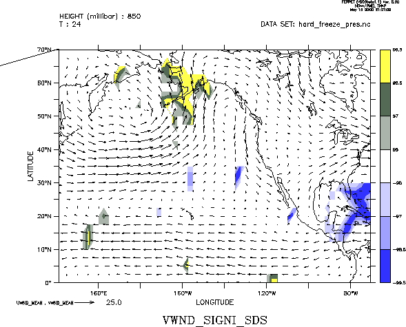
| standard deviation @ 850 | 0 12 24 | ||
|
|
|||
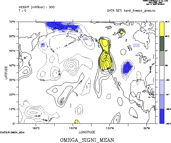
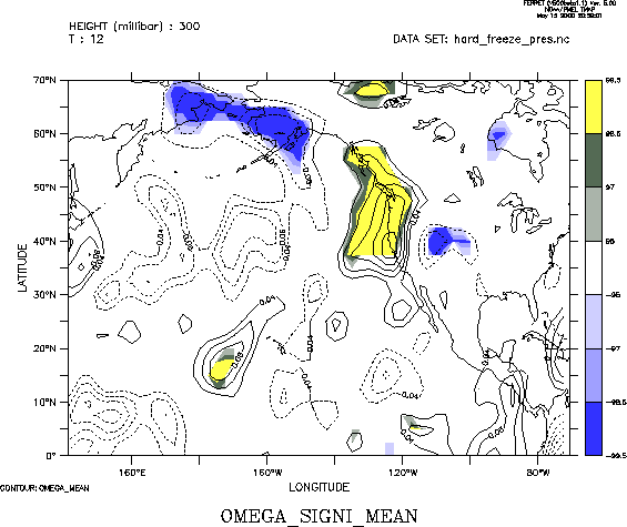
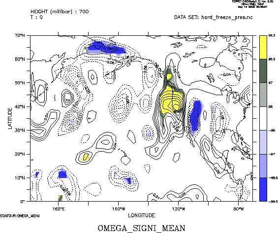
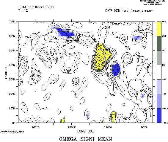
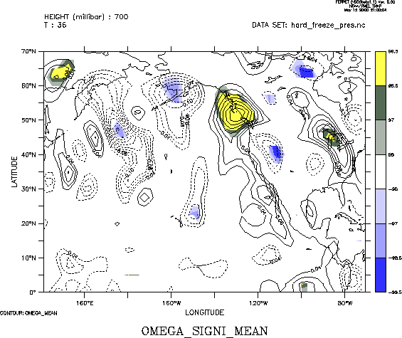
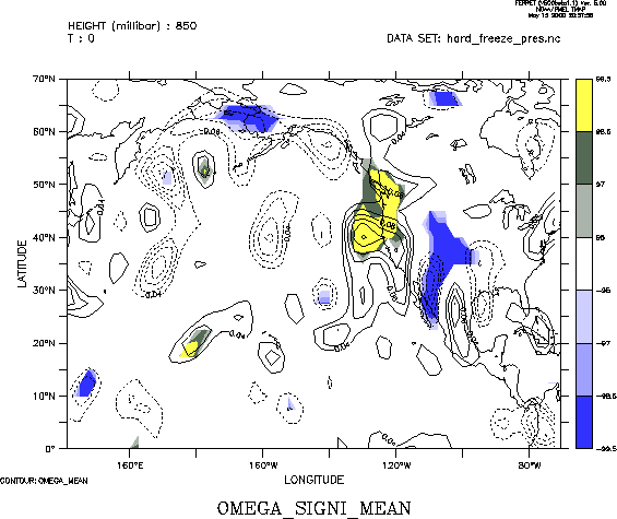
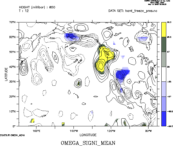
| Omega | 300 mb | 0 12 24 | |
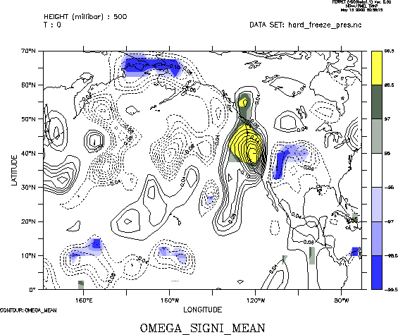
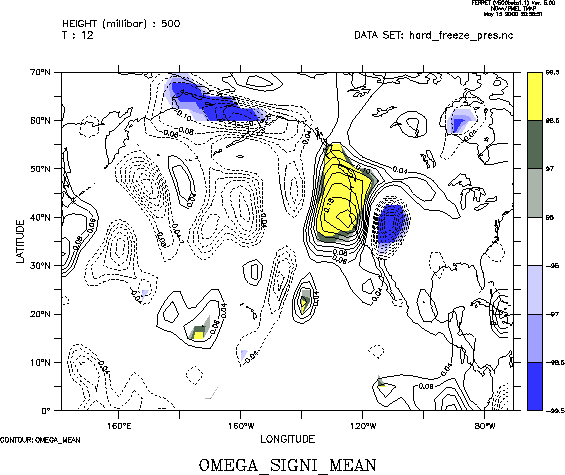
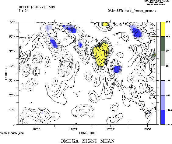
| 500 mb | 0 12 24 | ||
| 700 mb | 0 12 24 36 | ||
| 850 mb | 0 12 24 36 | ||
|
|
|||
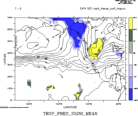
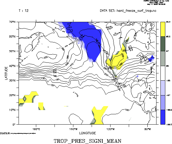
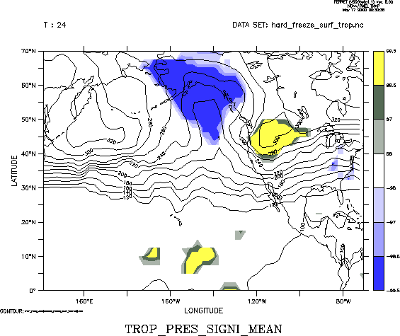
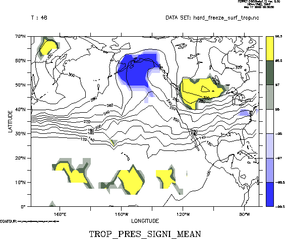
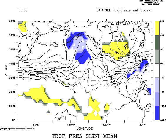
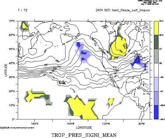
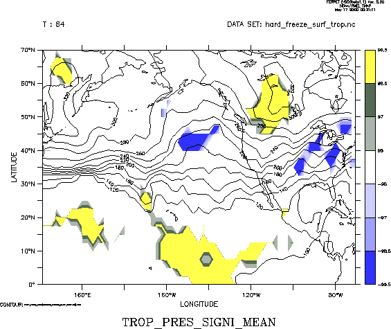
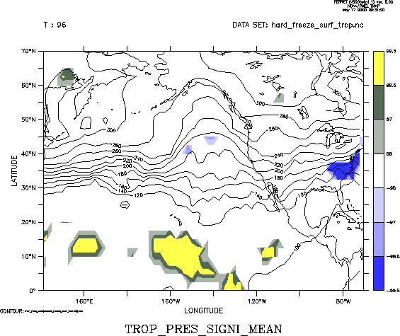
| Tropopause | Pressure elevation | 0 12 24 36 48 60 72 84 96 | |
|
|
|||